Last time on The Garden: the axe falls on the Blyth and Tyne line, and i foolhardily decide to walk its length…
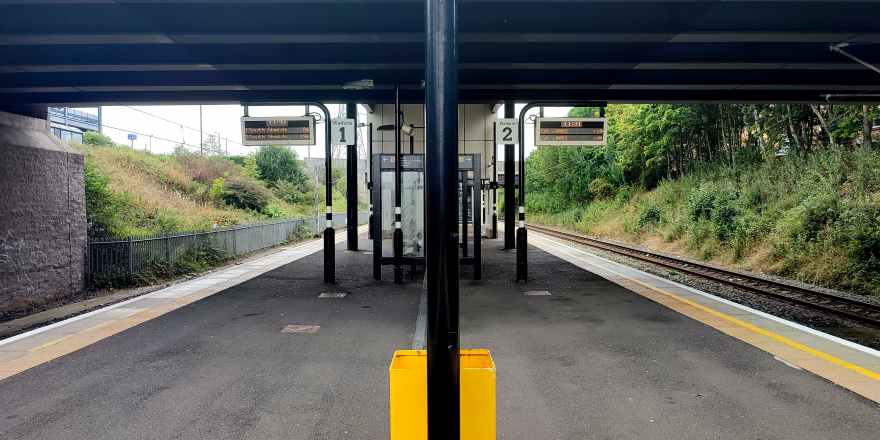
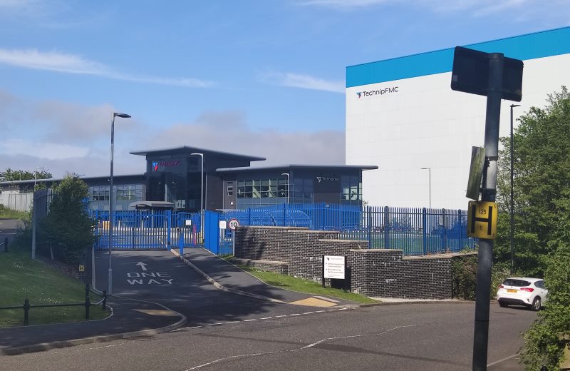
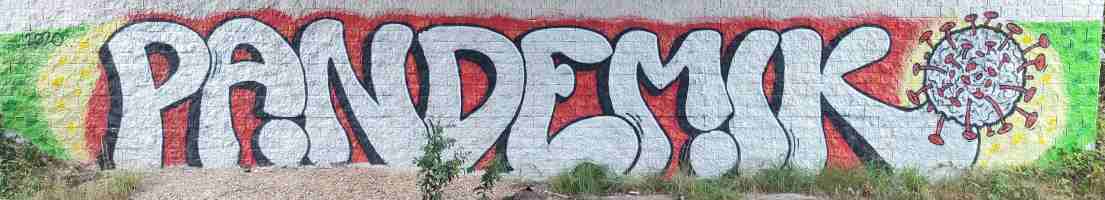
Our journey begins at Northumberland Park, in North Tyneside. Though it’s the first station we’ll be visiting, it was the last to be constructed, having only opened in 2005 — and it’s quite easy to tell, even after sixteen years of wear and tear; the place is outfitted with modern amenities, lifts, ticket machines flush with the wall, and, more lately, pandemic-themed graffiti opposite the platform. This unassuming metro station will, according to the county council’s plans, serve as the interchange between the old and new lines, heavy rail and metro meeting one last time before splitting apart and going their separate ways.
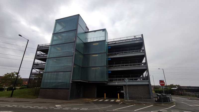
Setting off from there, the first thing that caught my eye were twin giants: a frosted glass-covered car park and a red-brick Sainsbury’s, unexpected icons of the modern British condition. It didn’t get much better from there; down the road lies an American-style strip mall lined with bookmakers trying to get people to piss away all their money.
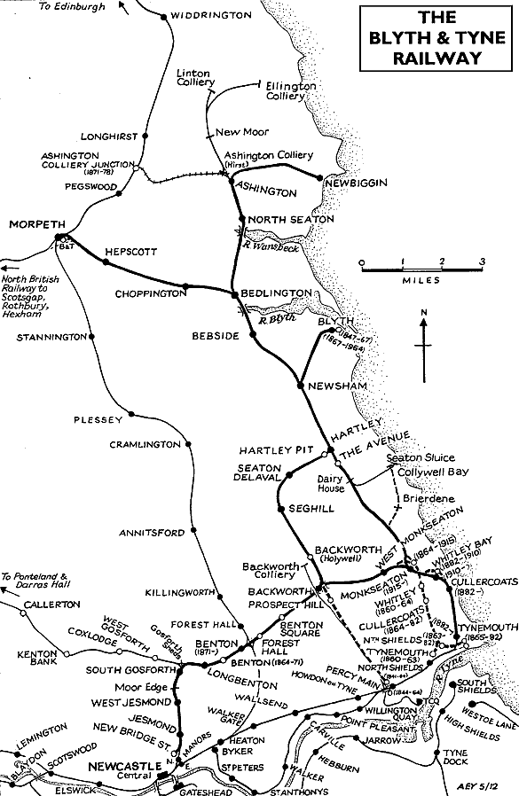
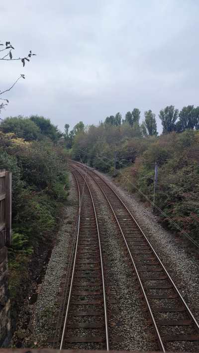
This southernmost tip of Northumberland is criss-crossed by innumerable public footpaths, cycle paths, bridleways, and other routes for non-metal-box-related transport; ducking onto one of the reclaimed “waggonways” once used to transport coal, i found myself on the site of the second station on the list.
The leafy suburb of Backworth has a habit of burying its history. A hoard of offerings from Roman times was found underground in the 1810s, the last vestiges of the colliery that once was are long gone, and the tale of this sorry ex-station is rather similar. Opened in 1864 to replace a nearby station closing the same day, Backworth station served its community for over 100 years, surviving the Beeching cuts. But when the Tyne and Wear Metro was announced to come to town, the old station finally closed… for good. It wasn’t until the opening of Northumberland Park that there would be a replacement.
As i wandered through the village's verdant streets, i couldn’t help but think of its resemblance to the straight, cycle-friendly streets of my old hometown. A little greenery can go a long way.
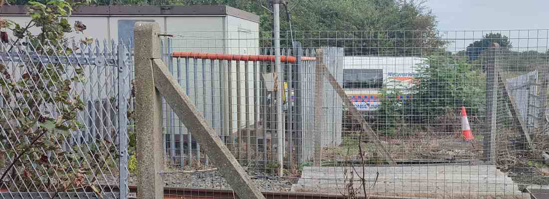
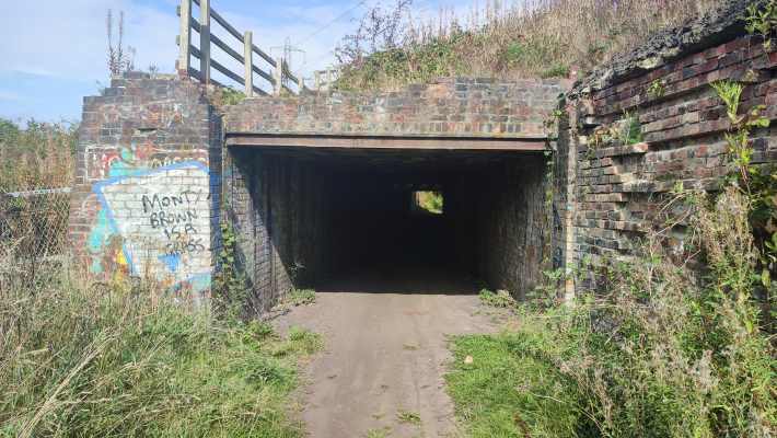
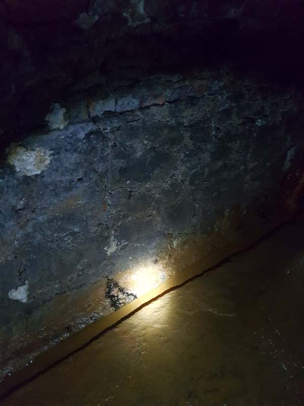
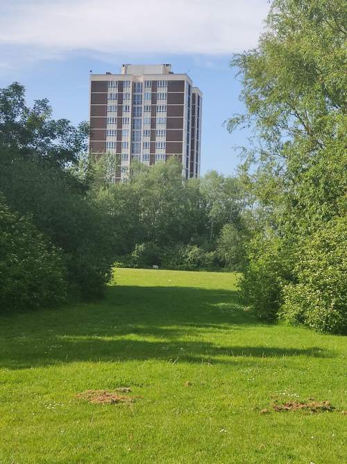
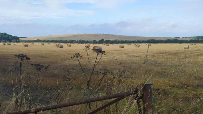
Network Rail were hard at work at the site of the aforementioned original Backworth station, whose plot of land now sits vacant, marking the city’s last hurrah; the further i walked along the dirt back roads, the further the sounds of bustling cars receded, until, ducking under a shady underpass, i found myself utterly alone amongst pastoral fields (and the overwhelming scent of manure).
That peace and quiet was swiftly interrupted by a troupe of boy racers on motorcycles and quad-bikes, but you can’t win them all, you know?
The (post-1974) border town of Seghill occupies only the tiniest fragment of the collective English consciousness, popping up briefly in an anti-scab miners’ folk song called “Blackleg Miner”:
It’s in the evening after dark,
when the blackleg miner creeps to work
With his moleskin pants and dirty shirt
there gans the blackleg miner![...]
So, divvint gan near the Seghill mine
Across the way they stretch a line,
to catch the throat and break the spine
of the dirty blackleg miner[...]
So join the union while you may
Divvint wait till your dying day,
for that may not be far away,
you dirty blackleg miner!
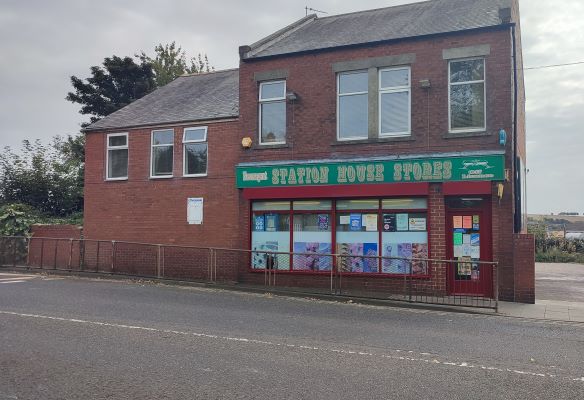
For our purposes, it’s chiefly notable for the fact that it’s the first disused station on the list whose buildings are still intact and in use, this time as a corner shop, from which i of course bought a copy of the local rag — prominently including a Q&A about the restoration of service on the line, which i thought a fitting reminder of why i set out on this silly old journey in the first place.
After getting some well deserved rest, i headed on off towards the next town over, awaiting what fresh stories i would find...
Next time on “Walking the Blyth and Tyne”: your author is reminded of her own mortality, finds himself in the company of a noble family, and shudders at the thought of having to go to Blyth, of all places on Gods’ green Earth